GIS
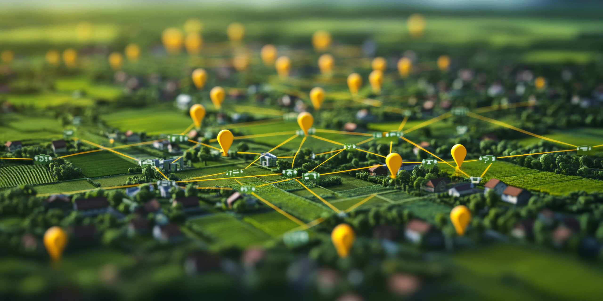
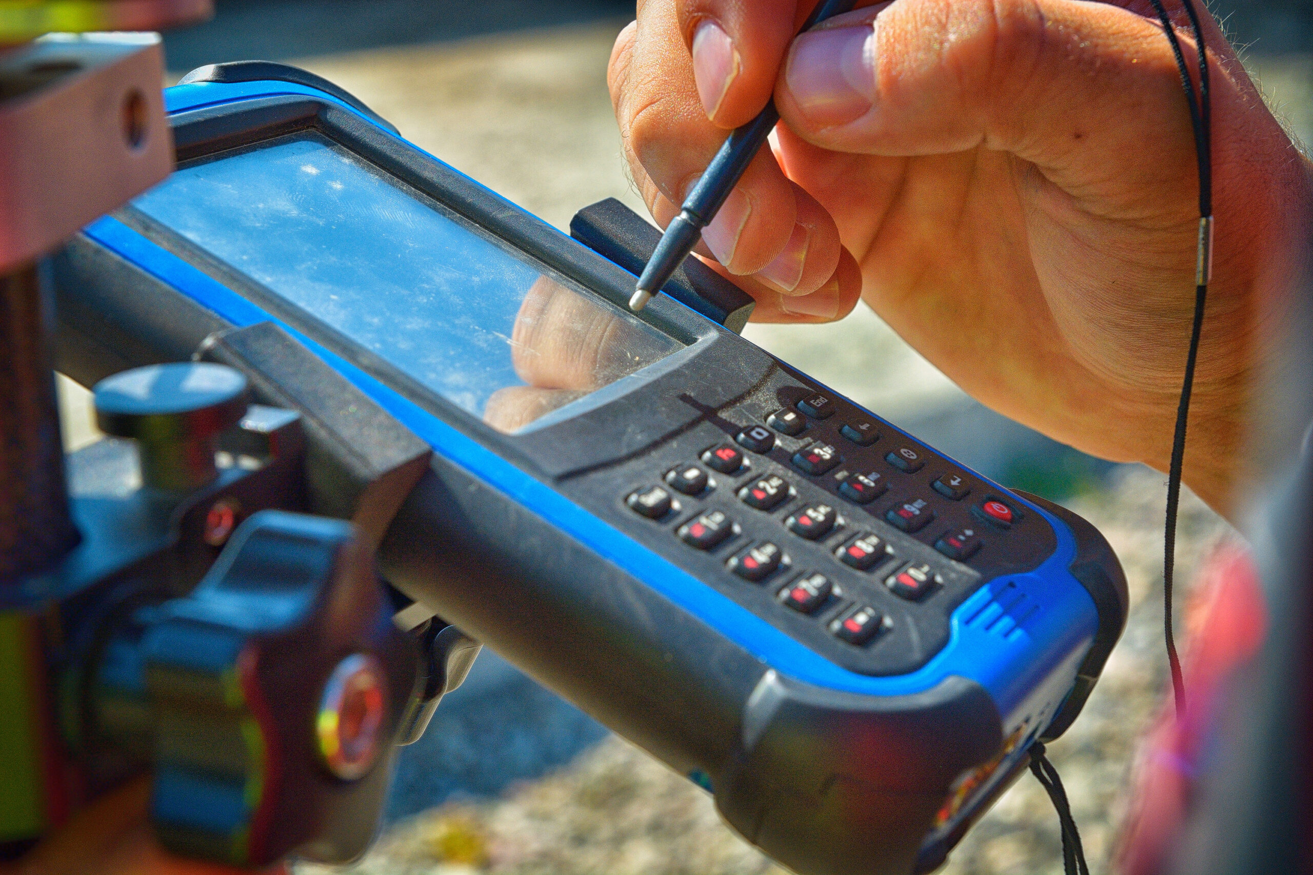
Geographic Information Systems (GIS) provide location intelligence to utilities. Utilities employ GIS to map and manage their water and drinking water infrastructure. An accurate and updated, online GIS-derived map supports operational efficiency, maintenance planning and disaster preparation and response. A living map of a utility’s infrastructure is the foundation of asset management.

Small communities are often unaware of the benefits of GIS, or lack the financial and human resources to adopt it. RCAP is providing financial and technical assistance to help communities overcome those obstacles through its GIS mapping tools, resources and technical assistance.